Cheap GPS and Code Project Tutorial
January 28th, 2008 | Published in Uncategorized | 9 Comments
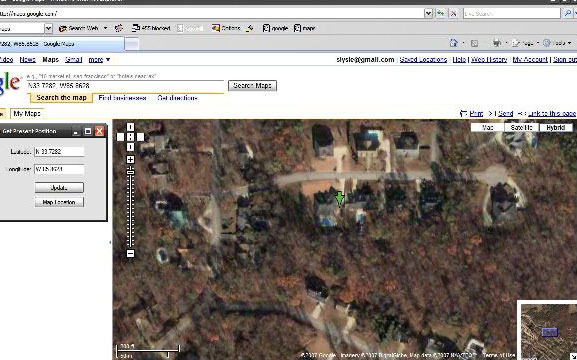
I came across a tutorial today on Code Project called “Mapping with a GPS and C#“. I then found this cheap usb GPS receiver on Amazon for $29. And so begins a new little project I would like to try out.
The NMEA 0183 Stream
What isn’t mentioned in the tutorial in any great depth is that NMEA stream coming from the reciever actually holds a lot more information than just the simple logitude and latitude of the reciever. Here is a list of some of the highlights:
- $GPAAM – Waypoint Arrival Alarm
- $GPBOD – Bearing, Origin to Destination
- $GPBWW – Bearing, Waypoint to Waypoint
- $GPGGA – Global Positioning System Fix Data
- $GPGLL – Geographic Position, Latitude/Longitude
- $GPGSA – GPS DOP and Active Satellites
- $GPGST – GPS Pseudorange Noise Statistics
- $GPGSV – GPS Satellites in View
- $GPHDG – Heading, Deviation & Variation
- $GPHDT – Heading, True
- $GPRMB – Recommended Minimum Navigation Information
- $GPRMC – Recommended Minimum Specific GPS/TRANSIT Data
- $GPRTE – Routes
- $GPVTG – Track Made Good and Ground Speed
- $GPWCV – Waypoint Closure Velocity
- $GPWNC – Distance, Waypoint to Waypoint
- $GPWPL – Waypoint Location
- $GPXTE – Cross-Track Error, Measured
- $GPXTR – Cross-Track Error, Dead Reckoning
- $GPZDA – UTC Date/Time and Local Time Zone Offset
- $GPZFO – UTC and Time from Origin Waypoint
- $GPZTG – UTC and Time to Destination Waypoint
So I was thinking about putting together a little bigger application together and utilizing more of the NMEA stream that would sync up with a website.
Related Posts
Data Driven Maps Part 2: KML Choropleth MapsK-Means Document Clustering
Problems with Html.DropDownList
Euclidean Distance Score